ナマインゴ県
ナマインゴ県(ナマインゴけん、英語:Namayingo District)はウガンダの東部地域南東部の県。 2014年の人口は23万3229人。 県都はナマインゴ。
ナマインゴ県 Namayingo District Wilaya ya Namayingo | |
|---|---|
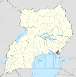 ナマインゴ県の位置 | |
| 国 |
|
| 地域 | 東部地域 |
| 歴史的地域 | ブソガ |
| 新設 | 2010年7月1日 |
| 県都 | ナマインゴ |
| 面積 | |
| • 陸地 | 532.9 km2 |
| 標高 | 1,200 m |
| 人口 (2014年) | |
| • 合計 | 223,229人 |
| • 密度 | 418.9人/km2 |
| 等時帯 | UTC+3 (EAT) |
| ISO 3166コード | UG-230 |
| ウェブサイト |
www |
経済
20世紀までは、
- 本土での自給自足農業
- ビクトリア湖の湖岸や小島での釣り
が経済の中心だった。 しかし、21世紀に入ると県内に金が埋まっている事が明らかになり、金の採掘に関わる産業が発展し、人口も急増した。 [3]
脚注
- “Distance Between Namayingo And Jinja With Map”. Globefeed.com. 2014年4月9日閲覧。
- “Map Showing Bugiri And Namayingo With Distance Marker”. Globefeed.com. 2014年4月9日閲覧。
- Wacha, Joe (2012年10月12日). “Gold Attracts Uganda's Tribes To Namayingo District”. Uganda Radio Network Online. 2014年4月8日閲覧。
- “Estimated Population of Namayingo District In 1991, 2002 & 2012”. Citypopulation.de. 2014年5月20日閲覧。
This article is issued from Wikipedia. The text is licensed under Creative Commons - Attribution - Sharealike. Additional terms may apply for the media files.