セレレ県
セレレ県(セレレけん、英語:Serere District)はウガンダの東部地域北西部の県。 県都はセレレ。 2014年の人口は28万3630人。
セレレ県 Serere District Wilaya ya Serere | |
|---|---|
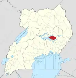 セレレ県の位置 | |
| 国 |
|
| 地域 | 東部地域 |
| 歴史的地域 | テソ |
| 県都 | セレレ |
| 面積 | |
| • 陸地 | 1,965.4 km2 |
| 人口 (2014年) | |
| • 合計 | 283,630人 |
| • 密度 | 144.3人/km2 |
| 等時帯 | UTC+3 (EAT) |
| ISO 3166コード | UG-232 |
| ウェブサイト | serere.go.ug |
脚注
- “Map Showing Soroti And Serere With Distance Marker”. Globefeed.com. 2014年5月20日閲覧。
- “Road Distance Between Kampala And Serere With Map”. Globefeed.com. 2014年5月20日閲覧。
- ., . (2002 Census). “Uganda: People and Society”. CIA Factbook. 2014年5月20日閲覧。
This article is issued from Wikipedia. The text is licensed under Creative Commons - Attribution - Sharealike. Additional terms may apply for the media files.