マンゴチ
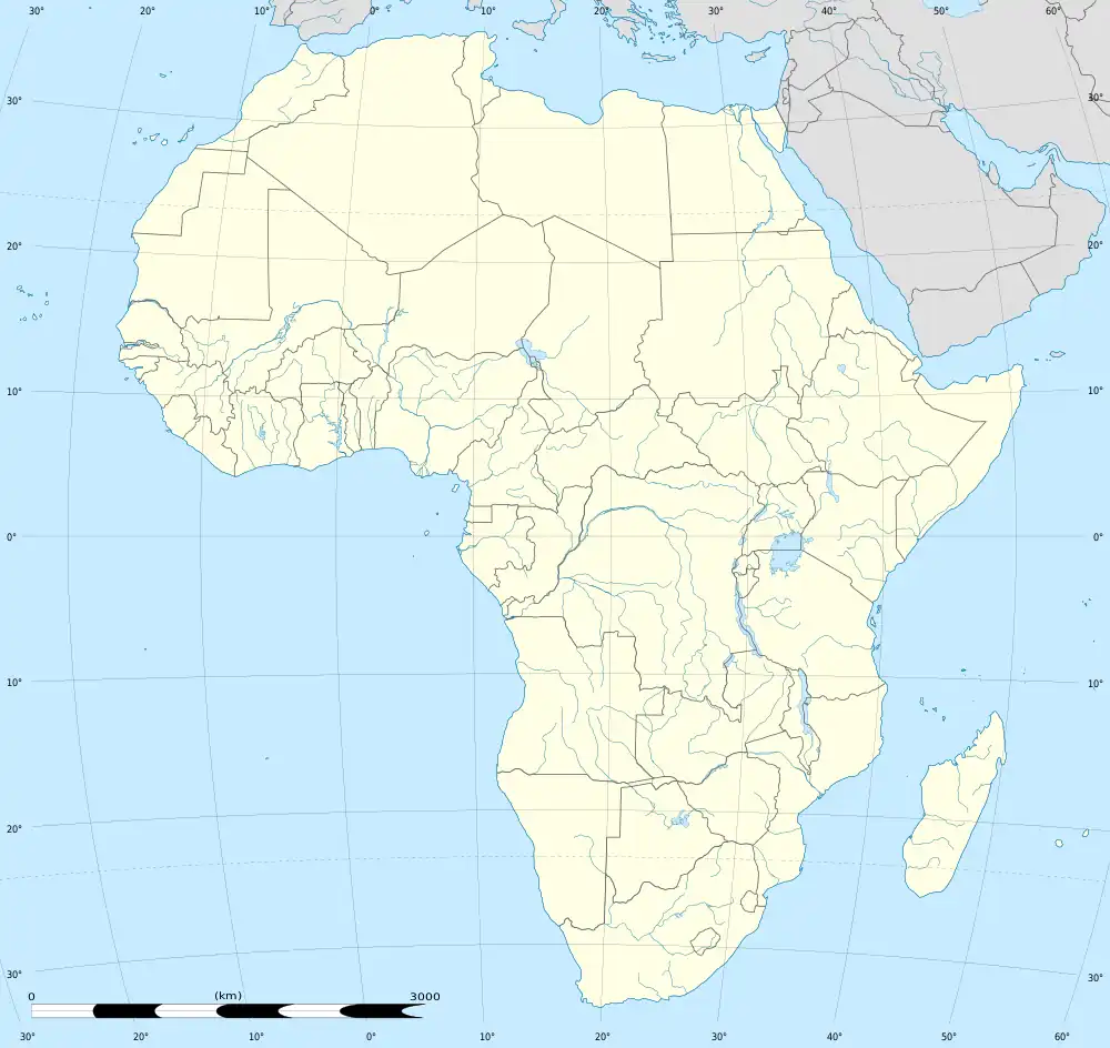
マンゴチはマラウイ南部州にあり、マンゴチ県の中心都市で、主要産業は商業と観光である。2010年時点の国勢調査によれば、都市の人口は4万2309人であった[1]。
| マンゴチ Mangochi | |
|---|---|
| 位置 | |
 マンゴチ マンゴチ (マラウイ)  マンゴチ マンゴチ (アフリカ) | |
| 座標 : 南緯14度29分02秒 東経35度15分28秒 | |
| 行政 | |
| 国 | |
| 州 | 南部州 |
| 県 | マンゴチ県 |
| 町 | マンゴチ |
| 地理 | |
| 面積 | |
| 町域 | ? km2 |
| 標高 | 470 m |
| 人口 | |
| 人口 | (2018年現在) |
| 町域 | 53,498人 |
| その他 | |
| 等時帯 | 中央アフリカ時間 (UTC+2) |
住民
気候
| マンゴチの気候 | |||||||||||||
|---|---|---|---|---|---|---|---|---|---|---|---|---|---|
| 月 | 1月 | 2月 | 3月 | 4月 | 5月 | 6月 | 7月 | 8月 | 9月 | 10月 | 11月 | 12月 | 年 |
| 平均最高気温 °C (°F) | 30.1 (86.2) |
30.0 (86) |
30.2 (86.4) |
29.5 (85.1) |
28.1 (82.6) |
26.5 (79.7) |
26.3 (79.3) |
28.3 (82.9) |
31.4 (88.5) |
33.6 (92.5) |
33.2 (91.8) |
31.0 (87.8) |
29.9 (85.8) |
| 日平均気温 °C (°F) | 25.5 (77.9) |
25.4 (77.7) |
25.3 (77.5) |
24.3 (75.7) |
22.1 (71.8) |
20.3 (68.5) |
20.1 (68.2) |
21.8 (71.2) |
24.5 (76.1) |
26.9 (80.4) |
27.3 (81.1) |
26.1 (79) |
24.1 (75.4) |
| 平均最低気温 °C (°F) | 21.6 (70.9) |
21.5 (70.7) |
21.1 (70) |
19.8 (67.6) |
16.7 (62.1) |
14.2 (57.6) |
14.3 (57.7) |
15.4 (59.7) |
17.8 (64) |
20.8 (69.4) |
22.0 (71.6) |
22.0 (71.6) |
18.9 (66) |
| 降水量 mm (inch) | 194.2 (7.646) |
200.8 (7.906) |
144.0 (5.669) |
36.6 (1.441) |
5.7 (0.224) |
4.4 (0.173) |
3.9 (0.154) |
1.5 (0.059) |
3.0 (0.118) |
15.9 (0.626) |
64.2 (2.528) |
172.0 (6.772) |
846.2 (33.315) |
| 平均降水日数 (≥0.3 mm) | 16 | 14 | 13 | 6 | 2 | 2 | 2 | 2 | 1 | 2 | 7 | 14 | 81 |
| % 湿度 | 78 | 78 | 76 | 73 | 60 | 66 | 62 | 57 | 50 | 50 | 59 | 72 | 65 |
| 平均月間日照時間 | 204.6 | 187.6 | 238.7 | 252.0 | 279.0 | 255.0 | 257.3 | 279.0 | 288.0 | 300.7 | 258.0 | 207.7 | 3,007.6 |
| 平均日照時間 | 6.6 | 6.7 | 7.7 | 8.4 | 9.0 | 8.5 | 8.3 | 9.0 | 9.6 | 9.7 | 8.6 | 6.7 | 8.23 |
| 出典:NOAA[2] | |||||||||||||
交通
空港
- マンゴチ空港
脚注
- “World Gazetteer: Malawi: largest cities and towns and statistics of their population”. World Gazetteer. 2013年5月25日時点のオリジナルよりアーカイブ。2010年1月22日閲覧。
- “Mangochi Climate Normals 1961–1990”. National Oceanic and Atmospheric Administration. 2015年3月8日閲覧。
関連項目
This article is issued from Wikipedia. The text is licensed under Creative Commons - Attribution - Sharealike. Additional terms may apply for the media files.